People know their cities, the opportunities they offer and the challenges they pose, in ways that are often hard to quantify using maps and surveys alone. We have used the SoftGIS approach to understand how local residents use blue spaces in their cities and how they feel in those places.
SoftGIS is a term that describes the process of ‘soft’ subjective data being linked with ‘hard’ objective GIS data. To collect the data as part of BlueHealth research, we used a commercial online survey tool meant for participatory mapping. This enabled local residents to comment on their experiences in local blue spaces and helped to provide a more rounded picture of the importance and relevance of specific blue spaces. This helped us to map the perceptions about the blue spaces in respondents’ home towns.
We made several online map-based surveys across Europe about urban blue space visits that the residents could fill in. The goal was to map out what sort of blue spaces people visit, how they perceive these places and how these visits make them feel. The tool also helped us to determine what sort of blue spaces people consider to be important for them in their home towns.
The survey helps to uncover spatial aspects of people’s relationships with blue spaces. For example, we can learn about their means of transport to blue spaces, or find out about the places people most enjoy or dislike, and their reasons for doing so. These are specific to each town and also can uncover aspects that are similar across the different study areas. The size and the location of the blue space affect the general scores of that blue space in all case areas. For example, almost a third of people surveyed in all case areas also consider a blue space to be important to them when it is close to them (27%).
Interestingly, we have found that not only the closeness to respondents’ homes affected the score of the blue space but closeness to any other areas where that person spends their time, such as the workplace, leisure activity locations or their daily commute routes. Additionally, we found that around 20% of people particularly appreciate blue spaces that are considered beautiful and those that provide the opportunity to relax.
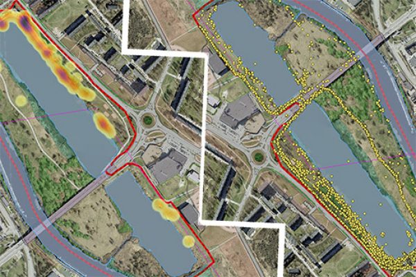
Before data are downloaded from the SoftGIS interface for an in-depth analysis, the information gathered can be viewed inside the survey platform itself. You can look at each point separately and the data connected with it or look how the marked data points are distributed spatially
tributed spatially.
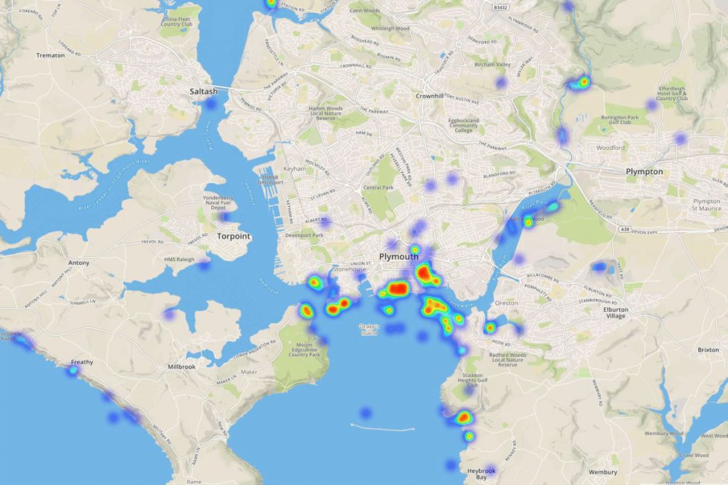
Here you can see a fragment of the data.
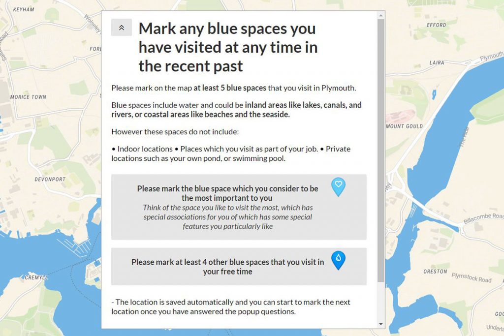
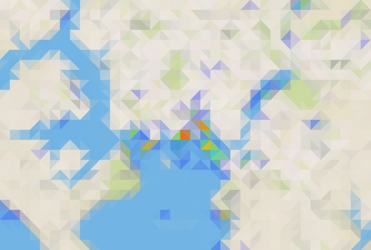
Here you can see a fragment of the online survey place makers.
Participatory mapping can provide information that you cannot gain from typical GIS data, reports, photographs and maps. We recommend using this or other participatory online mapping tools when you want to understand what people think about different locations. Try to use open-ended questions so that people can give you more in-depth insights and site-specific information.
The SoftGIS software platform that we chose out for our participatory mapping research is developed by Mapita.
For more information visit their website.