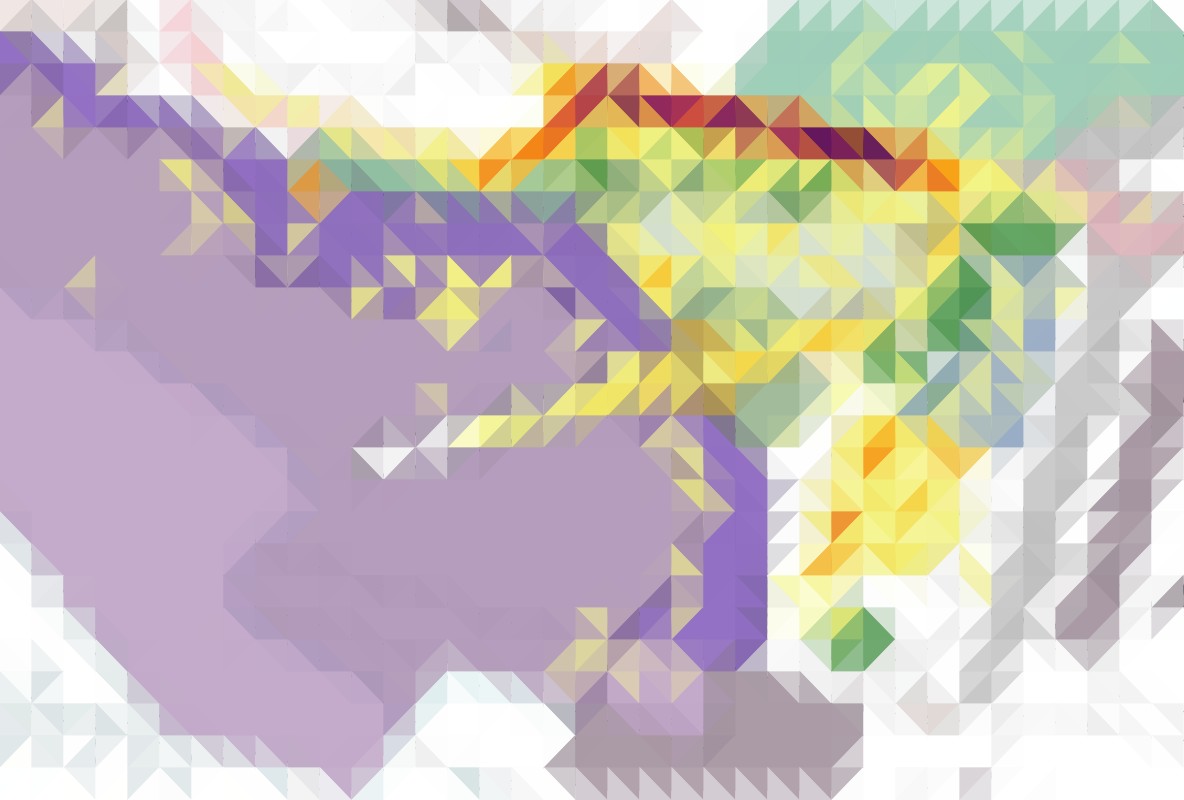
Behaviour observation and mapping are useful planning tools to generate evidence to create people-friendly public spaces. Small-scale interventions are gaining popularity as cost-effective and quick solutions to regenerate degraded urban outdoor environments. Onsite behaviour observation mapping with GIS underpins evidence gathering, analysis, and planning and design decision-making.
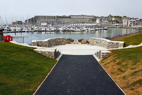
Using the BlueHealth Behaviour Assessment Tool (BBAT) developed within the EU-funded Horizon 2020 Project “Blue Health”, we carried out pre- and post-intervention observations of visits, activities and visitors’ characteristics in a site at Teats Hill, Plymouth, United Kingdom. Pre-post comparison of visits and activities in three target areas the entire site before and the within-site intervention area (a small open-air theatre) and the rest of the site afterwards were examined to analyse the impact of the intervention on socialising and relaxing activities. Behaviour observation data was both spatially and statistically analysed.
Key outcomes were sitting, standing, walking, activity with a dog, viewing, using a phone and socialising. Both a logistic regression model and spatial analysis using density maps and hot spot analysis confirmed an increased use of the open-air theatre and its positive impact on the use of the rest of the park (the non-intervention area).
Our logit models showed that the intervention promoted positive behaviour for health (i.e. blue space activities, socialisation, and relaxing activities), greater inclusivity and diversity of visitors.
We conclude that an evidence-based design approach can increase blue space accessibility, improve place affordances and promote positive behaviour and psychological well-being benefitting local communities.


